Sunday, May 29, 2016

Shasta to Ashland Oregon - Day 25

Mileage:  80
Total Ascent:  3900

Todays ride although long was a great day.  The weather was wonderful with the sun shining as we started out.   The route was fantastic with good roads and great descents on old Hiway 99 and other back roads.  We climbed I5 for about 7 miles with all the semi trucks and speeding cars.   The interstate doesn't bother me as the shoulders are very wide.  I'm more concerned with backroads that have no shoulders and cars speeding along like they are on the freeway.   It seems everytime we turned we saw Mt Shasta - a beautiful mountain covered in snow.  There were ranches with vast acreage and herds of cattle.  We did see  3 deer that ran across the road and into a yard besides all the cattle.

We ran into this gal named Alyson on her Bike Friday.  She was self-contained, riding solo and had been on the road for 3 months and had another month to go before she had to be back in Phoenix for work.  So she thought she would return by way of the Sierra Cascades.  She had been cycling  everywhere.  Death Valley, Crater Lake and I don't remember where else.  She was amazing.  It would be fun to be as adventurous.   You can find her on FB under The Little Bike That Could

We climbed up the Siskiyou summit and felt cheated as they didn't have a sign at the top but the view was beautiful.  See Picture below.  I have more but can't put them all on the blog.

Tonite we had a marguerita party as we rode into another state.  Also Patty our guide will be leaving us in Crater Lake and Katie our new guide is here now and overlapping with Patty before she leaves.  Patty is great and I hate to see her go.

Field of poppies - my favorite flower


Grannies Place.  This was way out in the field and not too close to the house.  Maybe sometimes they needed  their space from Granny??!?!


Mt. Shasta


Another view of Mt. Shasta


Oregon State Line
I've always heard the Oregonians don't want CAlifornians moving to Oregon.  They don't want us.
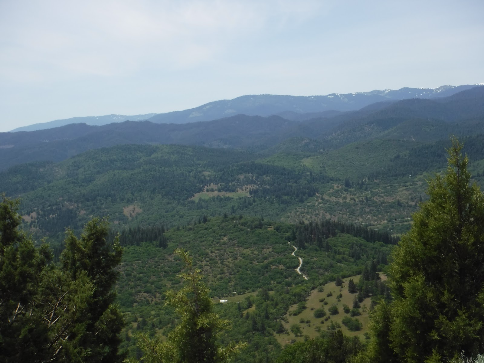

At the top of Siskiyou summit.  This pcture doesn't do it justice .


Saturday, May 28, 2016

Burney to Shasta - Day 24

Mileage:  62
Total Ascent:  4153

It was a roller coaster day today.  We had a couple of climbs  The first climb was stair stepping, rolling hills for 12 miles.   The second climb was a solid long climb of 6 miles.  Sun was out with very little wind - a beautiful day.

Coming down the first climb and we came upon Mt Shasta in front of us.
Mt Shasta

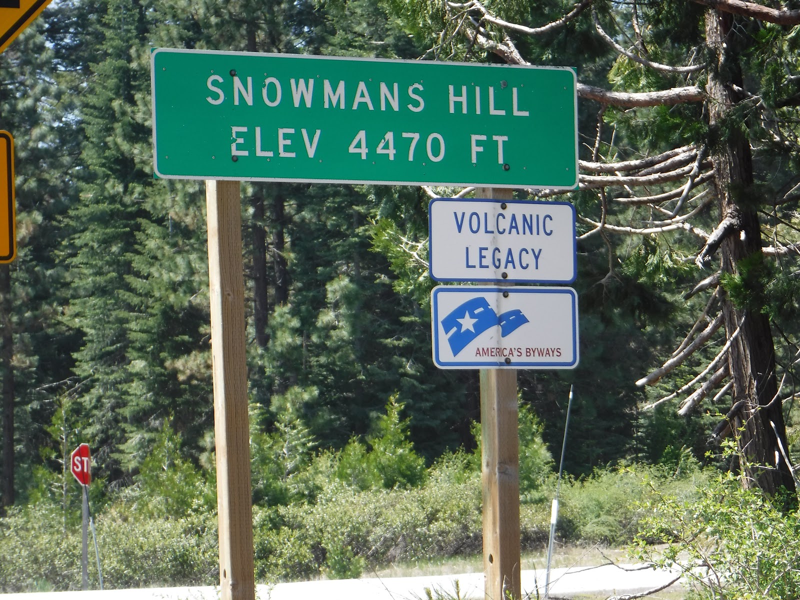
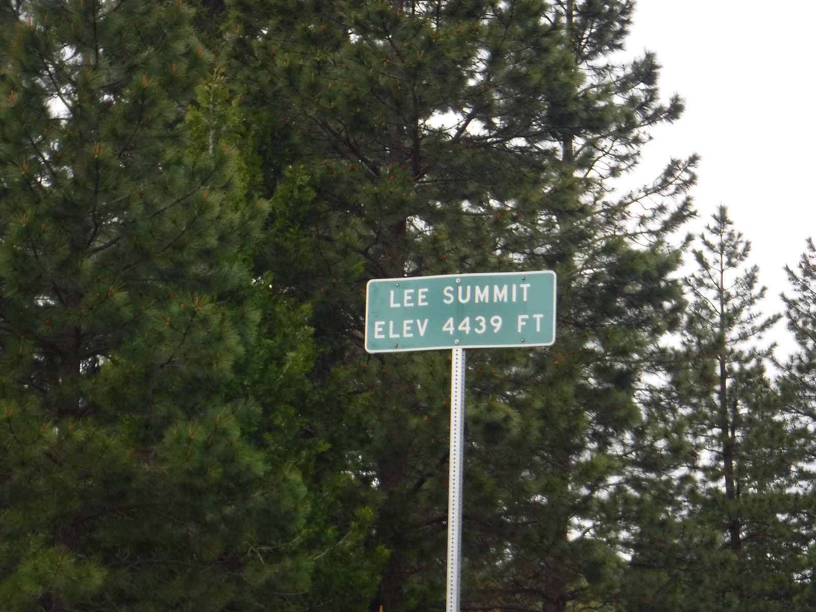
Our two summits - they always have good sounding names to go with it.


Here is our other rider/sag person.  Cindi..  Without her and the other two gals we would be in a world of hurt.  They do an awesome job  that most of us don't want to do.   There's a lot of responsibility that goes along with it.

Cindi
I only took a few pictures today as it was just a fun ride.  I remember reading on the internet that the first 10 days riding south to north were the hardest.  Maybe thats so.  Will have to wait and see what Oegon is like.  Tonite is our last nite in California.  Tomorrow we're off to Ashland Oregon.


Friday, May 27, 2016

Day Off - Day 23

Great day off today.  Slept in and then breakfast in a little Burney diner.  Next I cleaned my bike for the next week or so.  I must say my bike has never been cleaned so much as it has been on this trip.

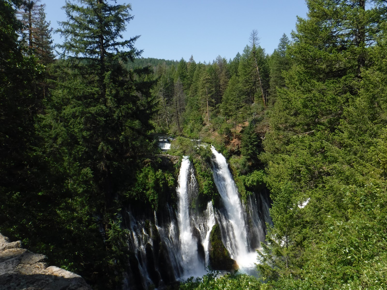
The best part was Patty drove us to Burney Falls.  So beautiful.  Here's some pictures of the falls.


The falls pour into creek 


The Pacific Crest trail is right above the falls.


An Osprey nest with an Osprey looking out.

After Burney Falls it was a hot fudge sundae at McDonalds and then some of the gals cleaned their bikes.


Thursday, May 26, 2016

Chester to Burney-Day 22

Mileage:  86
Total Ascent:  2540

Today had to be rerouted as the Mt Lassen pass was closed due to the amount of snow.
Patty came up with a great route for us - 11 miles less and 2,000 ft less of climbing.  Here is a picture of the route for many miles.  Pine trees on both sides of the road.  Really pretty and the road was excellent with very few cars.  We started out around 6:30 and it was quite cool but soon heated up to around 70  degrees in the afternoon.  We are now on a trend for warmer weather.

We've had logging trucks for the last couple of days and today one of the loggers stopped by to talk with Patty that some of the riders were taking over too much of the road and really it is dangerous.  All the riders have to keep that in mind when on the road.  We are very vulnerable.  


A swampy lake along the route called Poison Lake


A very small portion of the devastating fire that occured in 2014.  Devastation was all arund us and it either came very close to the homes or they had been rebuilt. 

Mt Shasta

Mt Lassen

Going down a long grade we came to a stop at the midpoint and took a picture of Mt Lassen.  A few miles later we were looking at Mt. Shasta.

Tomorrow is an off day and Patty is taking those of us who want to go to Burney Falls and a mile walk around.  Looking forward to it.  


Wednesday, May 25, 2016

Greenville to Chester - Day 21

Mileage:  26
Total Ascent:  1347

So we all survived our night at the Hideway Motel and agreed it would be a motel we always remembered and would have many stories to tell.

Here is a picture of the Feather River we rode around yesterday.  Couldn't quite get it loaded as we were all having trouble downloading pictures.

A lovely ride along the Feather River and through the Feather River Canyon.

Todays ride was a casual 26 miles.   A couple of short climbs but just beautiful riding through the forest.  We rode past Lake Almanor and this is where PG&E has one of their camps for their employees.   Don and I didn't make use of it but we should have.  Beautiful huge lake and surroundings.  
Lake Almanor

The lake is 6 miles wide and 13 miles long and is the eastern gateway to Lassen Volcanic National Park.  Its also where the Sierra Nevada and the Cascade range meet.  


Mt Lassen - snow covered.  What a sight to behold as we were cycling towards it.  We had to be quick with the photos as the clouds were moving in.  

 I thought this was interesting  - the Chester Flood Control Channel.  Not sure that I've ever seen one like this.  Water flowed down and under the bridge and there wasn't a lot of water on the other side of the bridge.

Emily made a great breakfast this morning.  French Toast, leftover eggs with leftover potatoes, broccoli, onions and other stuff.  Absolutely delicious!


Tuesday, May 24, 2016

Graeagle to Greenville - Day 20

Mileage:  48
Total Ascent:  2647

The day started out with sunshine.  It was a lovely day.  I love riding through the forests and the Feather River Canyon.  So beautiful and the river with its huge bolders and the water rushing over them.

On the grounds this morning before we left there were deer just grazng and very curious about the activity that was going on.

We had another summit to climb which wasn't as high as we are used to climbing.  Actually quite gentle climbing.


We made it to Quincy where we stopped at the Morning Thunder with the group and had coffee.   Cinnamon rolls and coffee was on our agenda this morning.  We met up with most of the group and had a lot of fun.  As I was going to take a picture of the group a guy suggested I sit down with them and he would take our picture.  Then everyone started giving him their cameras and he finally gave up and said no more.


It was a fabulous day and then the rain came.  We had our rain gear on so we were ok.  Then the rain stopped or so we thought.  It rained harder and then the hail started.  We were only a couple of miles from the motel but we missed the turn and had to retrace our steps.  Only getting wetter and colder as we rode.  We found our motel.  The guy who owned and ran the motel was a little different.  He loved his motel and told Gail and I we would love our rooms.  We didn't!  He was a little different and explained everything about our room as we stood freezing and dripping with the rain.  Took us forever to get warm after that.

Our meal was great tonite.  Baked potatoes, broccoli, chili, caeser salad and rice krispies for dessert.
Tomorrow is a very short day.  We're on our way to Chester only 26 miles away as the next day is around 90 miles.


Monday, May 23, 2016

Truckee to Graeagle - Day 19

Mileage:  48
Total Ascent:  2425

So today we started out with the temperture at 27-28 degrees with a high fog.  Cold?  You bet I had everything on that I brought with me and what I bought in Tahoe.   It stayed cold throughout the ride never really warming up until we arrived in Graeagle.
 Graeagle is a cute little spot on the road and is well known for its golfing.  There is a bike shop in town and we all conversed on it.  The owner did a fabulous business today.   The shop was actually closed for the day but a friend was working on his bike and helped us all.

The route itself was very pretty.  Some climbing for us as what would a day without climbing be.  But  the route went through a beautiful valley with creeks, wonderful meadows, nice homes and cattle.  We came upon some cows and yaks in this one area.  I have to show you a picture of the cow that wanted attentionn.  Everytime I tried to take a picture of the Yak the cow would move in front of him.  So I promised the cow I would take hs picture if he would allow me to take a picture of the Yak :-)


We rode over the Little Truckee River ... not to be confused with the Truckee River that we rode next to on the bike trail yesterday (I didn't take a picture)


Little Truckee River

Leftover dirty snow on the side of the road - I hope this is all we will see.


Snow Plants - they normally bloom after a snowfall.
Once again a climb to the summit only this one has no name.  Its in Plumas County.

Gail at the summit
The back of the car filled with water and all our goodies to eat on the road.


Kat - our rider/sag driver.  Without her help we would have a hard time making it on our own.  She knows where we are at all times.  If we stop for coffee or lunch we call her and let her knowwhere we are.  Our sag drivers are the best!